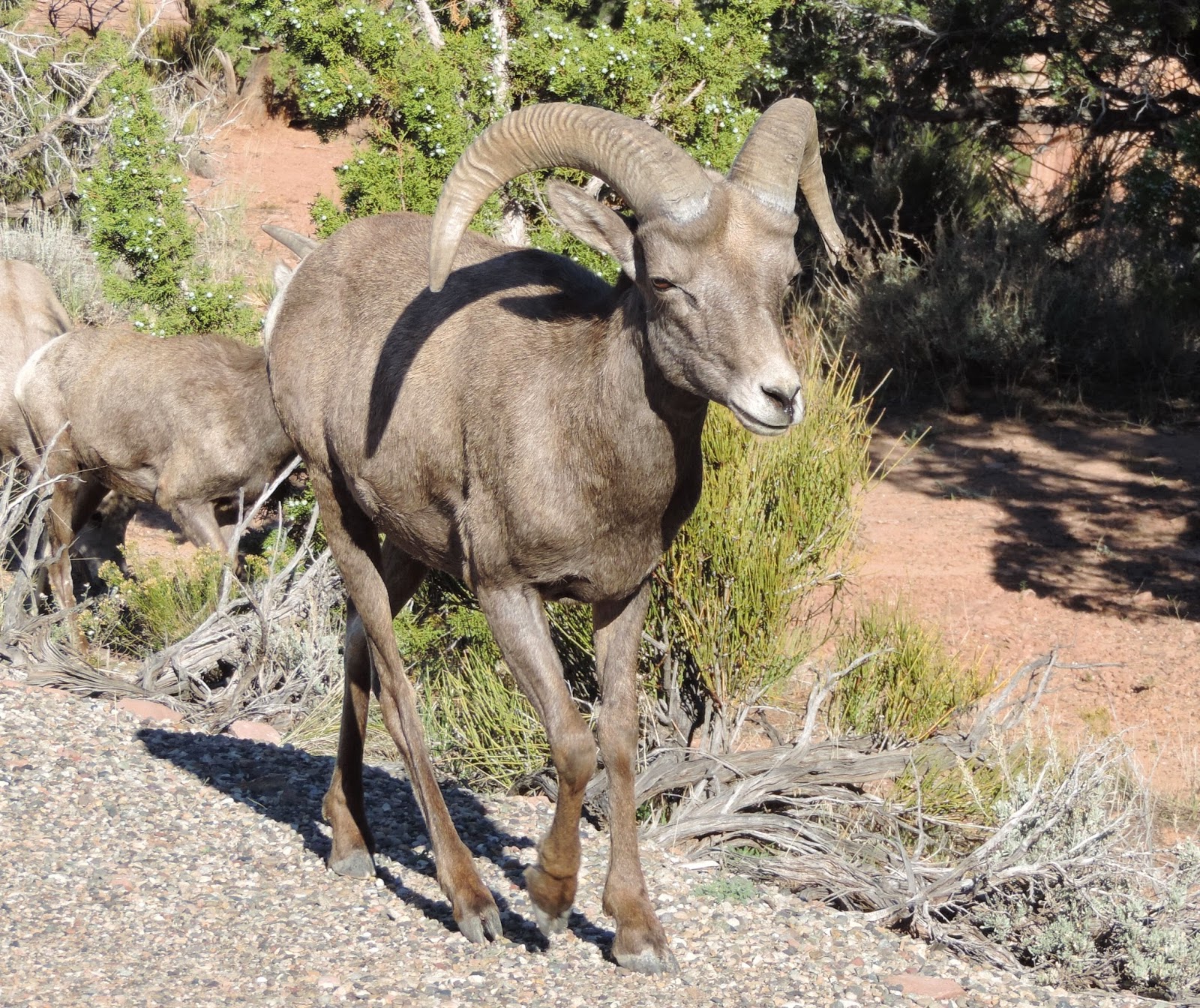
The Colorado National Monument highcountry rises over 2,000 feet above the Grand Valley of the Colorado River. Situated at the edge of the Uncompahgre Uplift, the park is part of the greater Colorado Plateau, which also embraces geologic wonders like the Grand Canyon, Bryce Canyon, and Arches National Parks. It is a semi-desert land of pinyon pines and Utah junipers, ravens and jays, desert bighorns and coyotes. Magnificent views from highland trails and the Rim Rock Drive stretch from the colorful sheer-walled canyons and fascinating rock sculptures to the distant Colorado River valley, purple gray Book Cliffs, and huge flat-topped mountain called Grand Mesa.
Our first stop was the Redlands Overlook which looks out over the cities of Redlands and Fruita. You can see the sprinkling of fall foliage and the Colorado River in the forefront of the photo.
Our next stop was Balanced Rock. The best photos of this I got on our 2nd day using my phone camera! The azure blue sky had streaks of white clouds that provided a stunning background to this cool park feature.
Over the years, it's been erosion that has shaped the landscape in this park. From moment-to-moment the forces of nature work to weaken then wear away seemingly solid rock. Gravity is the force that will someday cause the Balanced Rock to fall. The "balance" in Balanced Rock is the equilibrium between gravity and the strength of the rocks that make up this spire. Horizontal sedimentary bedding and vertical cracks called "joints" are natural planes of weakness in these rocks. They influence the erosional shapes seen at the Monument. Water in the form of rain and melted snow soaks these rocks on a regular basis seeping into cracks and actually dissolving minute fractions of minerals. Over time this process turns sandstone into sand.
There are three tunnels hewn out of the sandstone walls on the 23-mile drive through the Monument. Two are close to the Fruita entrance and one is close to the Grand Junction entrance. This is just one of them.
At the Historic Trail Overlook, there was lots to see including another overlook of the valley below. The Historic Trail was used by ranchers. They took their cattle up in the summer and down in the winter along this trail. You can just barely see the trail below -- it is the parallel line that runs just below the ridgetop between the sandy colored stone and the red-colored stone. And how about those unusual sandstone pyramids sculpted by wind and rain?
Here's a close-up of one of them with a closer look at that "trail."
With more amazing landscape--everywhere you look! But the best is yet to come!
Do you recognize this bush below from one of my recent botany blogs?
That's right ... it's Utah Juniper.
We stopped at the Visitor's Center before starting our journey. Gary is really a sucker for national park t-shirts, but successfully curbed the urge ... this time anyway! Below is a photo from the entrance wall to the Visitor's Center. It is of John Otto who had the foresight to create the Colorado National Monument in May 24, 1911. The dedication plaque calls him trail builder, promoter and first custodian of the Monument.
Now for more fascinating, amazing, and time-sculpted features of the park. These photos were taken from the Canyon Rim Trail right behind the Visitor's Center and gave us our first glimpse of what was to come.
Here we are celebrating the end of our summer stint in Canon City at the Colorado Monoument.
Here are more photos. I'll try not to say too much because I have so many awesome photos to share and I don't want you to get bored (ha!ha!).
The simple part of the canyon's story is that an extraordinary amount of weathering and erosion has taken place here. Freezing and thawing, running water, and wind sculpted the steep cliffs and dramatic rock features over thousands of years. The resulting landscape is not only a beautiful escape but also a window into the past.
Independence Monument
Grand View Overlook
Back into the car and on to Monument Canyon Overlook.
One last stop for this blog--Coke Ovens Overview. Early visitors to the monument thought these shapes looked like coke ovens which were used to transform coal into coke, a fuel which produces little or no gas when burned.
Well, that's about the half-way mark on the drive, but I think that's enough photos of the Colorado Monument for you for one day, don't you? We'll continue our drive in my next blog. Hope you're enjoying the journey with me!
Joshua 4:5-7
Cross again to the ark of the LORD your God into the middle of the Jordan, and each of you take up a stone on his shoulder, according to the number of the tribes of the sons of Israel. "Let this be a sign among you, so that when your children ask later, saying, 'What do these stones mean to you?' then you shall say to them, 'Because the waters of the Jordan were cut off before the ark of the covenant of the LORD; when it crossed the Jordan, the waters of the Jordan were cut off.' So these stones shall become a memorial to the sons of Israel forever."


